Downloadable Maps of Xinjiang, China
Are you looking for a good map of Xinjiang, China?
The following is a collection of Xinjiang maps that you can use for reference or to help you plan your travel throughout the province of Xinjiang. Some of these maps are in English while others are in Chinese.
I will try to continually add new maps to this page and I welcome any suggestions for other helpful maps. If you have a map you think might be useful for FarWestChina readers, please use the contact form to share.
Oh, and by the way, if you’re planning to travel to Xinjiang, have you seen the FarWestChina Xinjiang travel guide? It’s the only up-to-date, comprehensive guide for the region from the most respected source of information on the region. Grab a copy today – thanks in advance for your support!
Click on the maps to enlarge, then right click to download.
General Xinjiang Maps
The Official FarWestChina Xinjiang Map
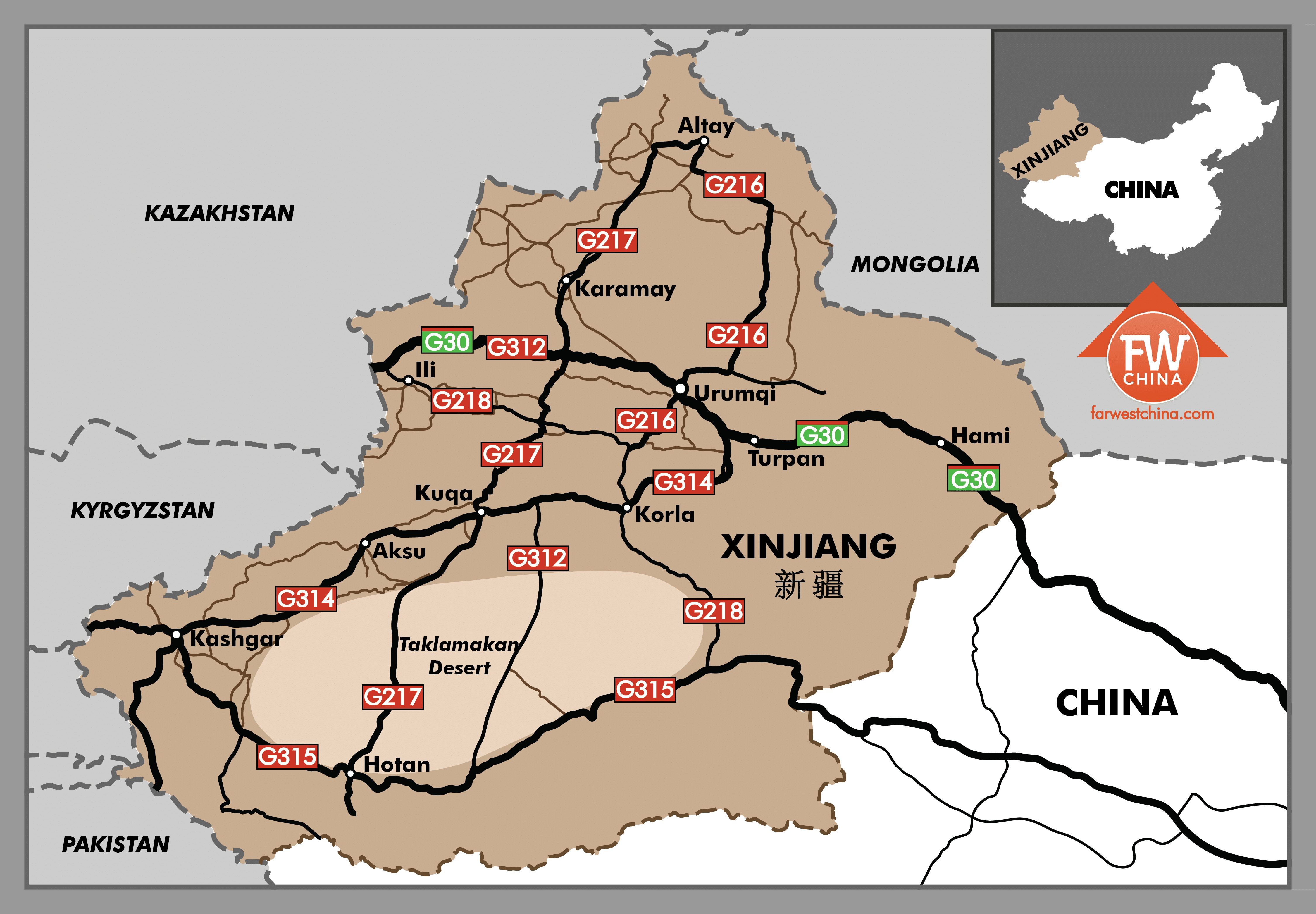
This Xinjiang map was custom designed specifically for my Xinjiang Travel Guide. It’s not going to be useful as a map guide for your travels, but it is a good general reference Xinjiang map. If you use this, please be kind and include a link back to this website. I spent a lot of money to have this and many other maps designed!
Road Map of Xinjiang (in Chinese)
")
A few years ago, once I got my Chinese driver’s license, I bought a Chinese road map. The good news is that it’s very accurate. The bad news is that it’s all in Chinese. If you can’t read Chinese, it might not be very useful for you other than to show you the available paths.

Xinjiang GDP Density Map

This map shows the distribution of wealth around Xinjiang. You’ll notice high concentrations around Karamay (in the north) and Korla (in the middle). This is because these two areas are heavy oil producers.
Xinjiang Ethnic Population Density Maop
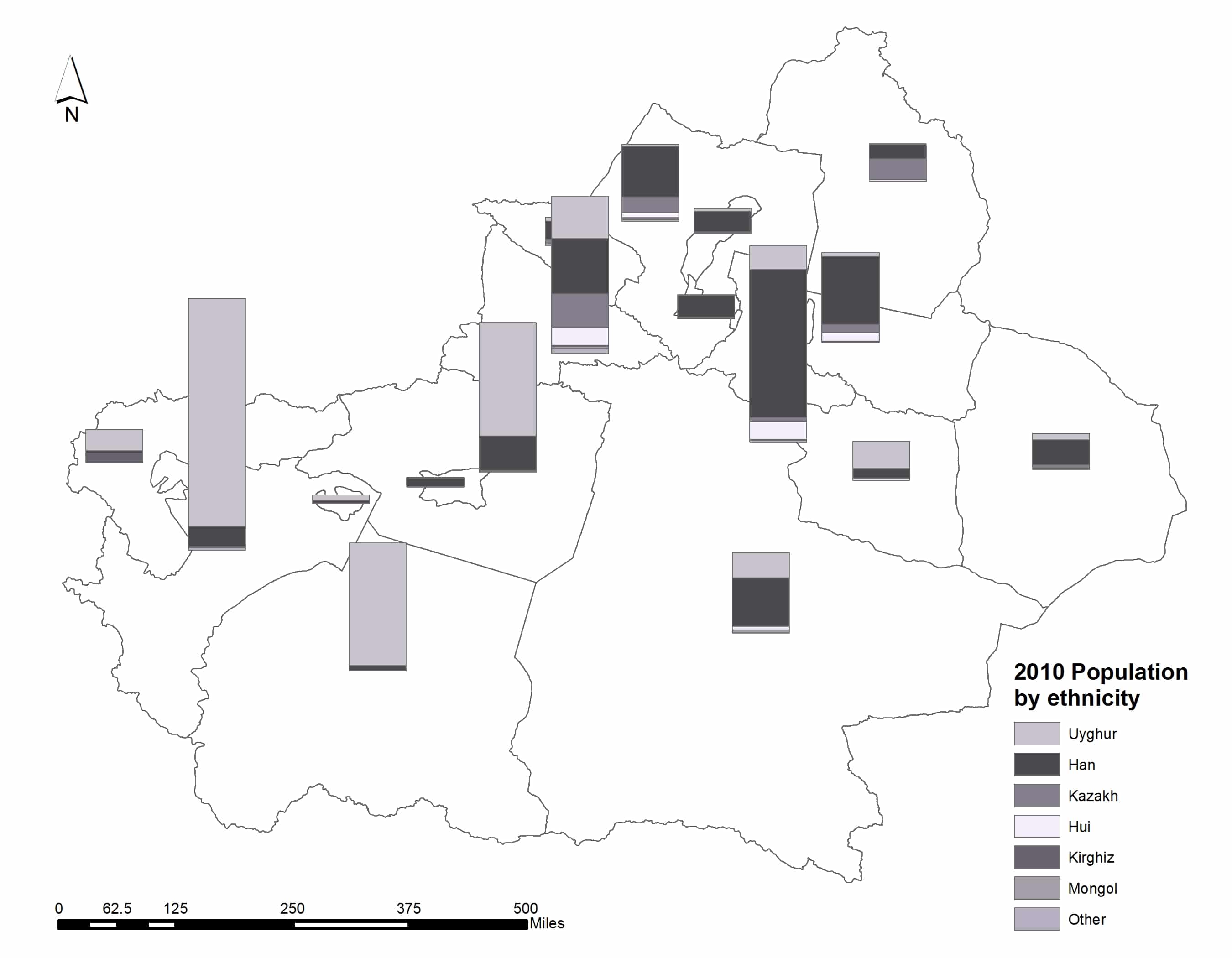
The above map shows the distribution of China’s ethnic groups in Xinjiang back in 2010 (it’s only changed slightly since then). You’ll notice that the south is more heavily Uyghur while the north has more Han, Kazakh and others.
Urumqi Maps

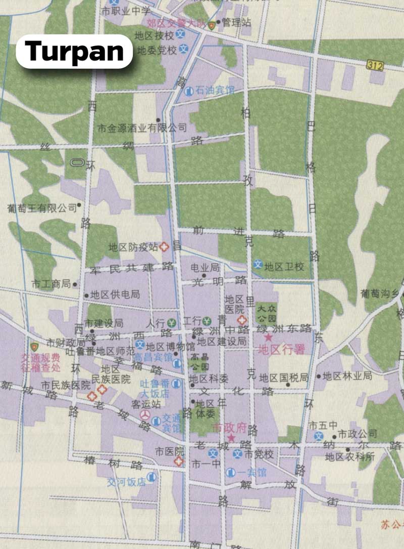
Turpan Maps

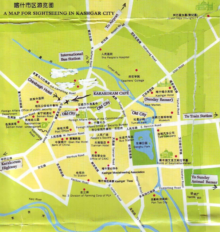
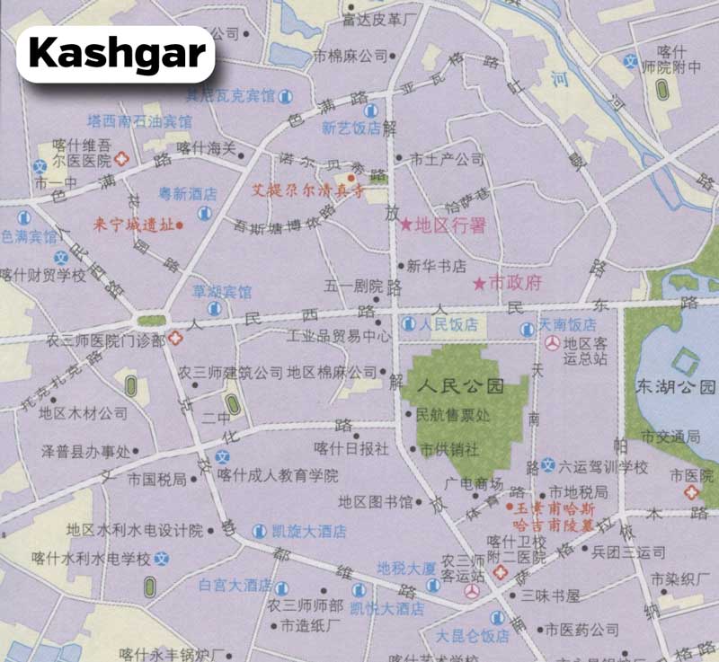
Kashgar Map
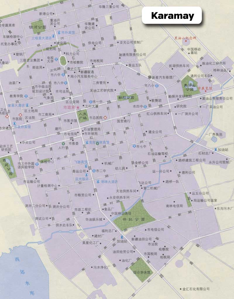
Karamay Maps
Hotan Maps

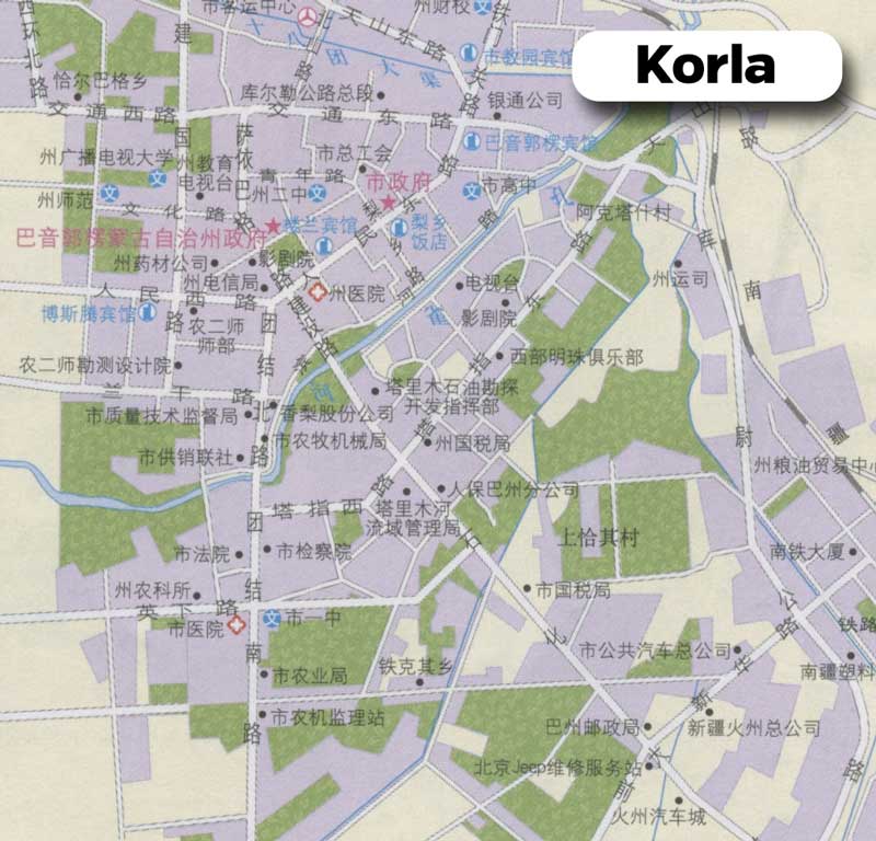
Korla Map
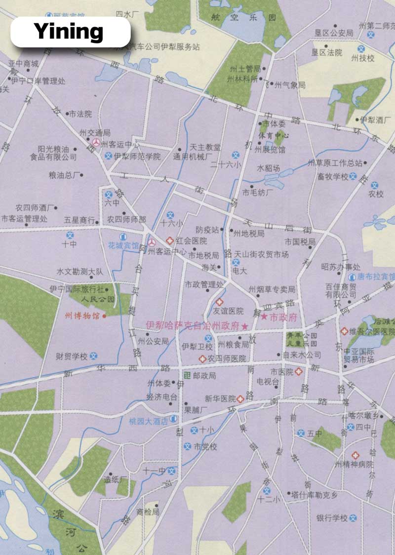
Yining Map (Yili)
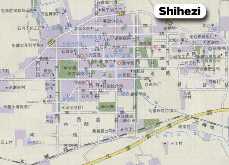
Shihezi Map
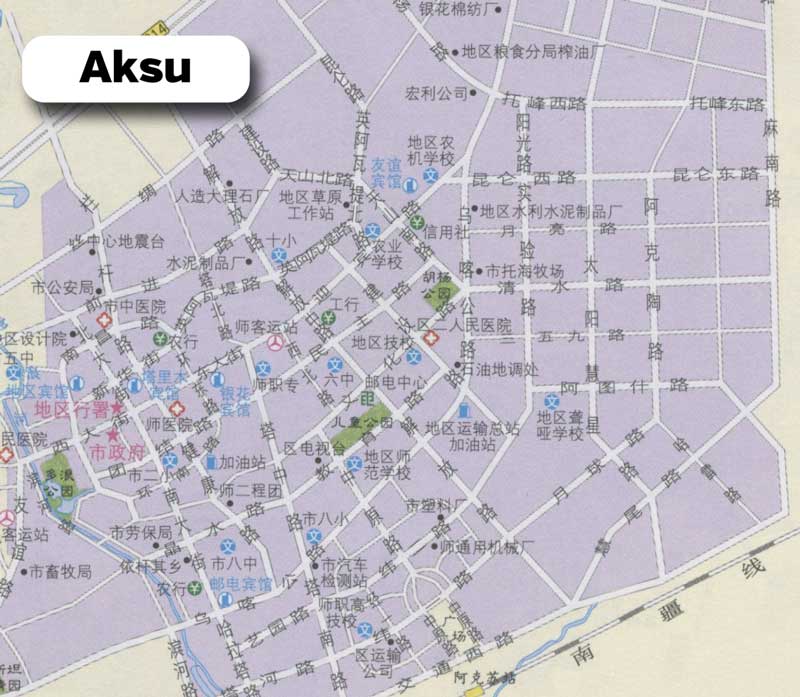
Aksu Map
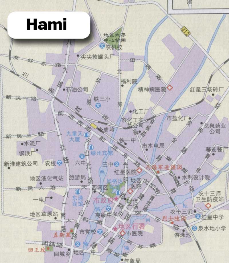
Hami Map
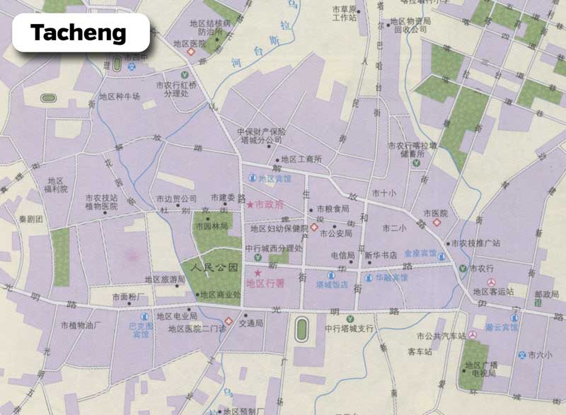
Tacheng Map
Final Thoughts | Xinjiang Maps
Hopefully you were able to find some good Xinjiang maps to use here, either of the Xinjiang province or of one of the many cities in Xinjiang. If you have something specific that you’re looking for, let me know.
You’ll find even more custom, high-quality Xinjiang maps in my Xinjiang guide book. If you’re traveling to Xinjiang anytime in the future, it’s definitely something you’ll want to help you plan the trip!